Barn Record Ashford
RETURN TO ‘FIND BARNS’- Building Name (Common)
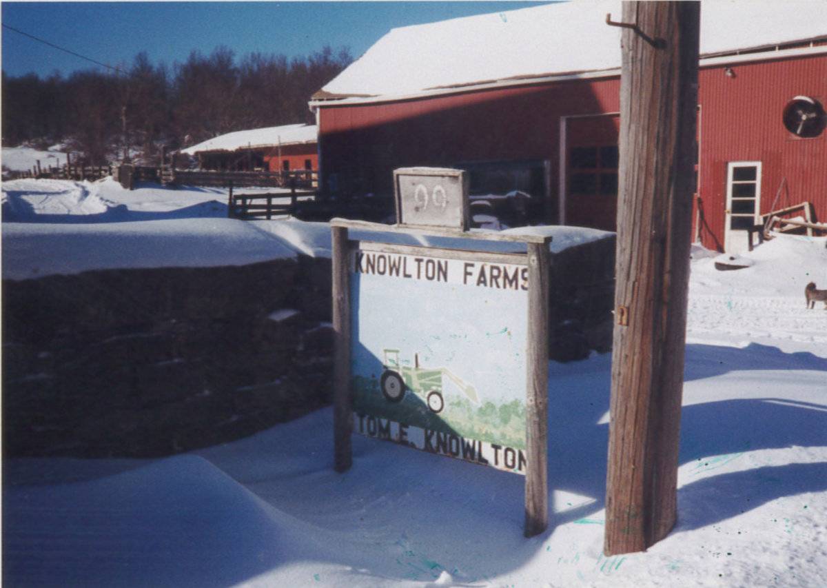
- Knowlton, Thomas, Farm - Barn 1 of 3
- Building Name (Historic)
- Knowlton, Edwin, Farmstead
- Address
- 92 Knowlton Hill Road, Ashford
- Typology

- Overview
-
Designations
Historic Significance
Architectural description:
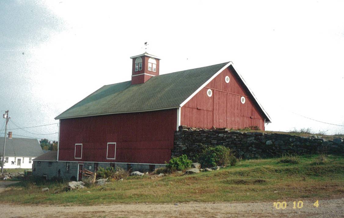
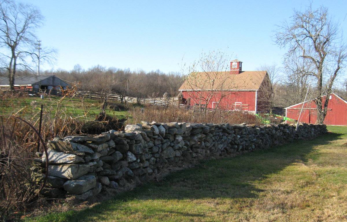
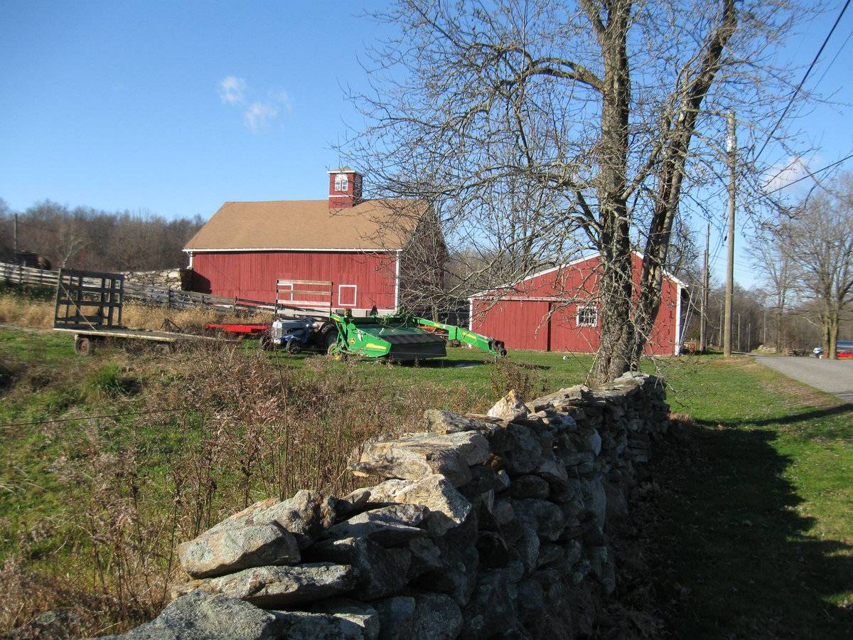
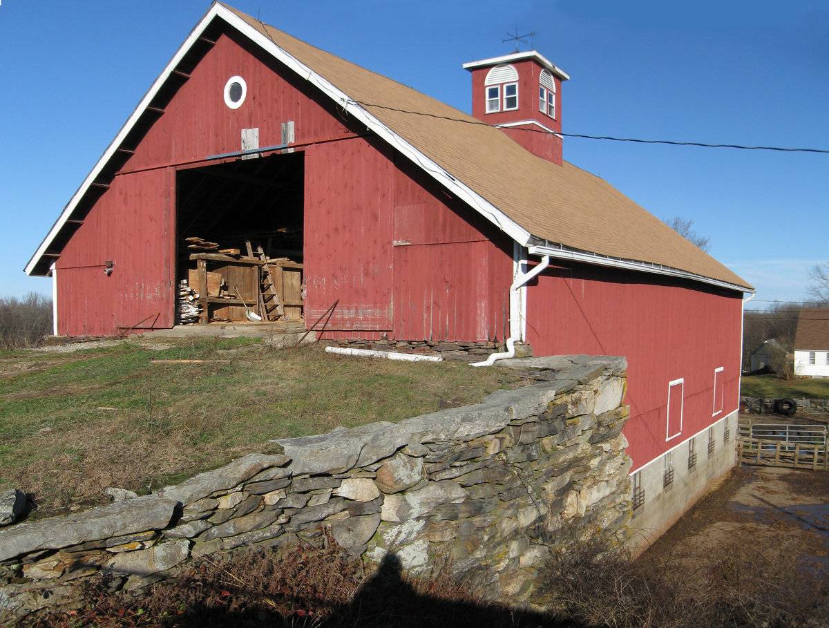
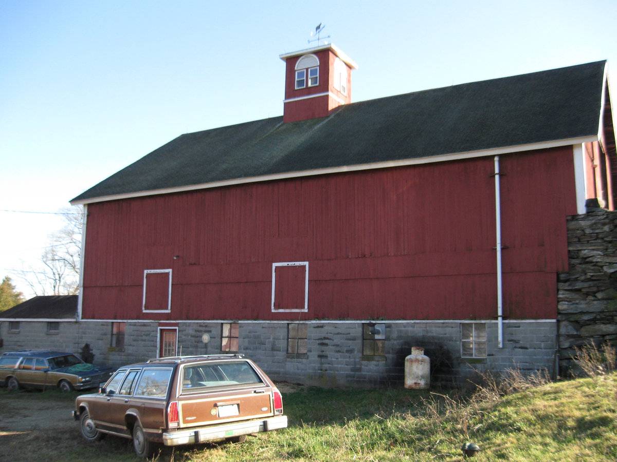
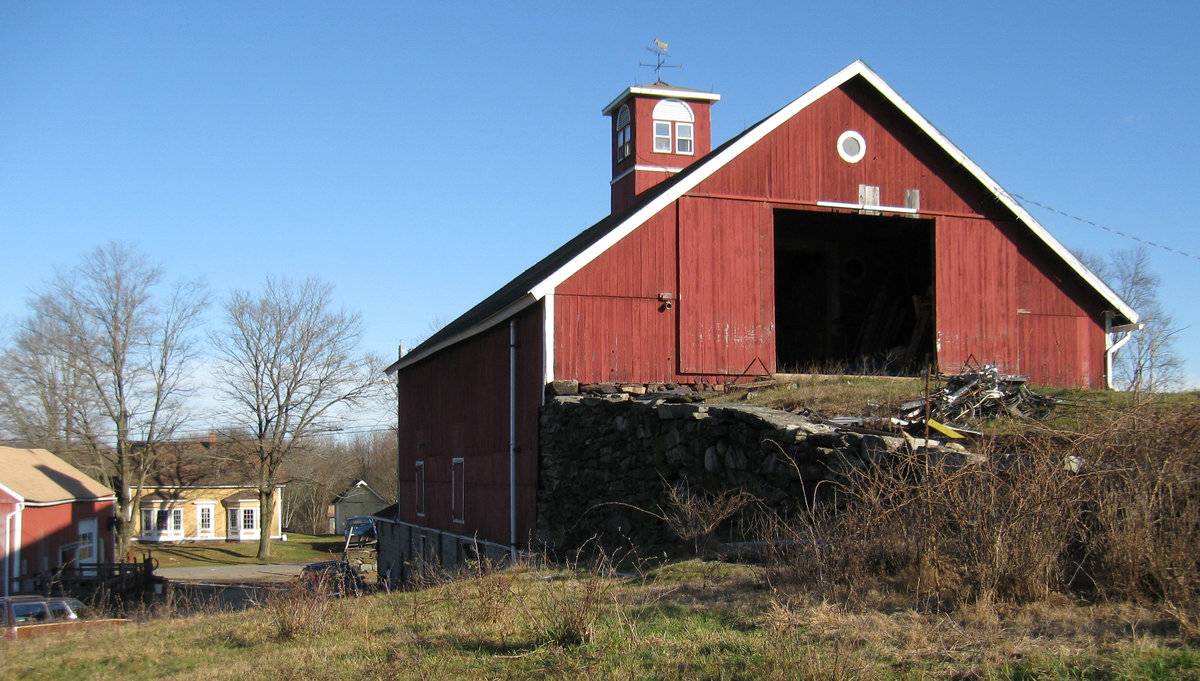
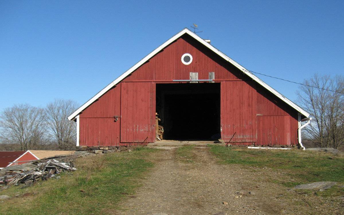
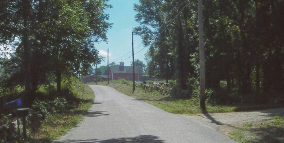
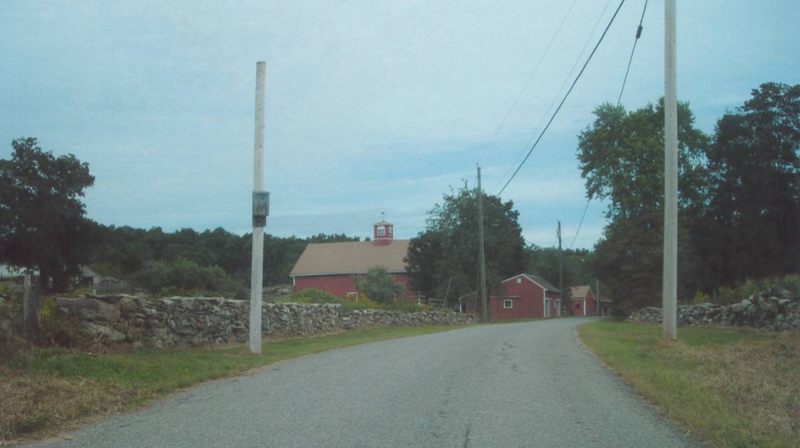
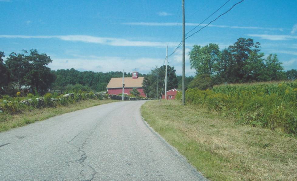
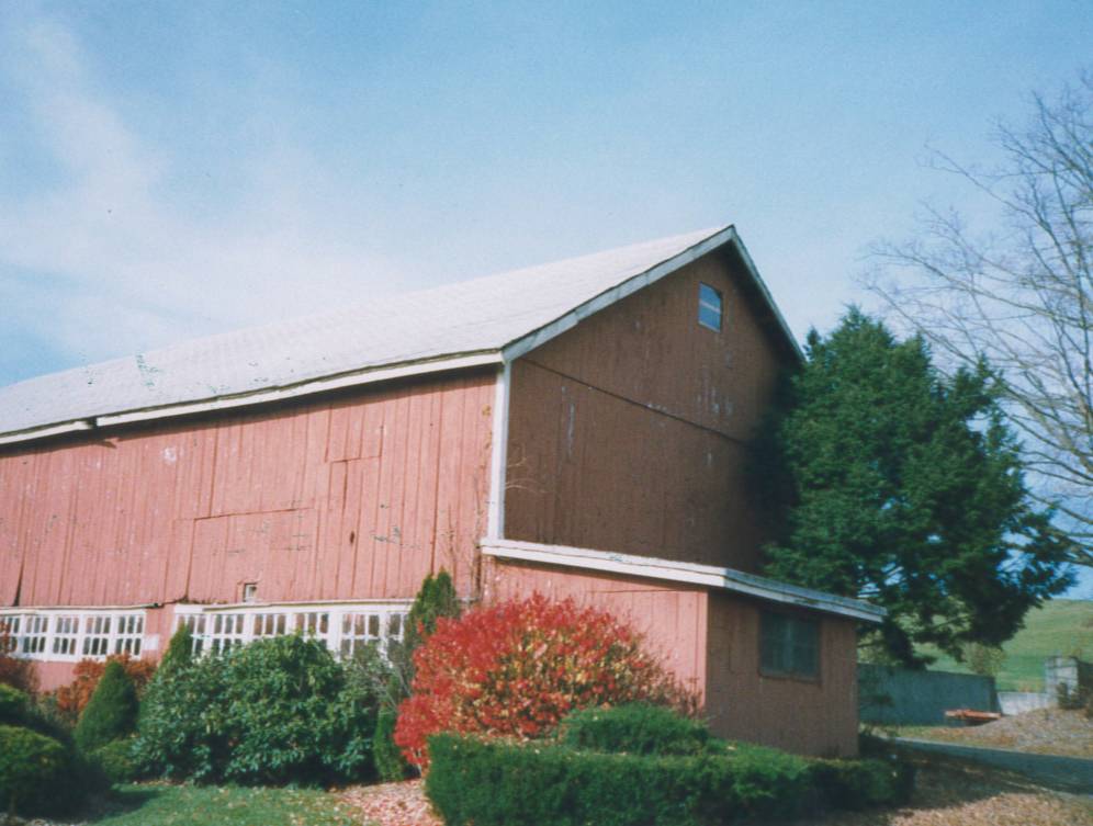
This 3 ½-story gable-roofed barn is oriented with the ridge-line running east-west, and located to the west of Knowlton Hill Road. It is set against the up-slope of the hill to the west so that the west entrance in the gable-end facade, is accessed at the third level from an earthen ramp the full width of the gable-end, with 2-story-high retaining walls of large boulder stone masonry. The north, east, and south walls are the full three story height.
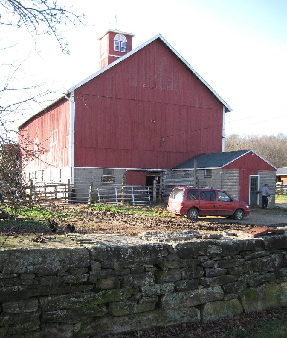
A concrete block masonry foundation/basement level has six stable windows on the south side and five stable windows and one pass-through door on the north. A milk house, also of concrete block masonry, is attached at the lowest level on the east gable-end facade, with its north wall flush with the barn wall. The east wall of the basement has one stable window near the southeast corner, a sliding door at the center for livestock, and the gable-roofed milk room addition.
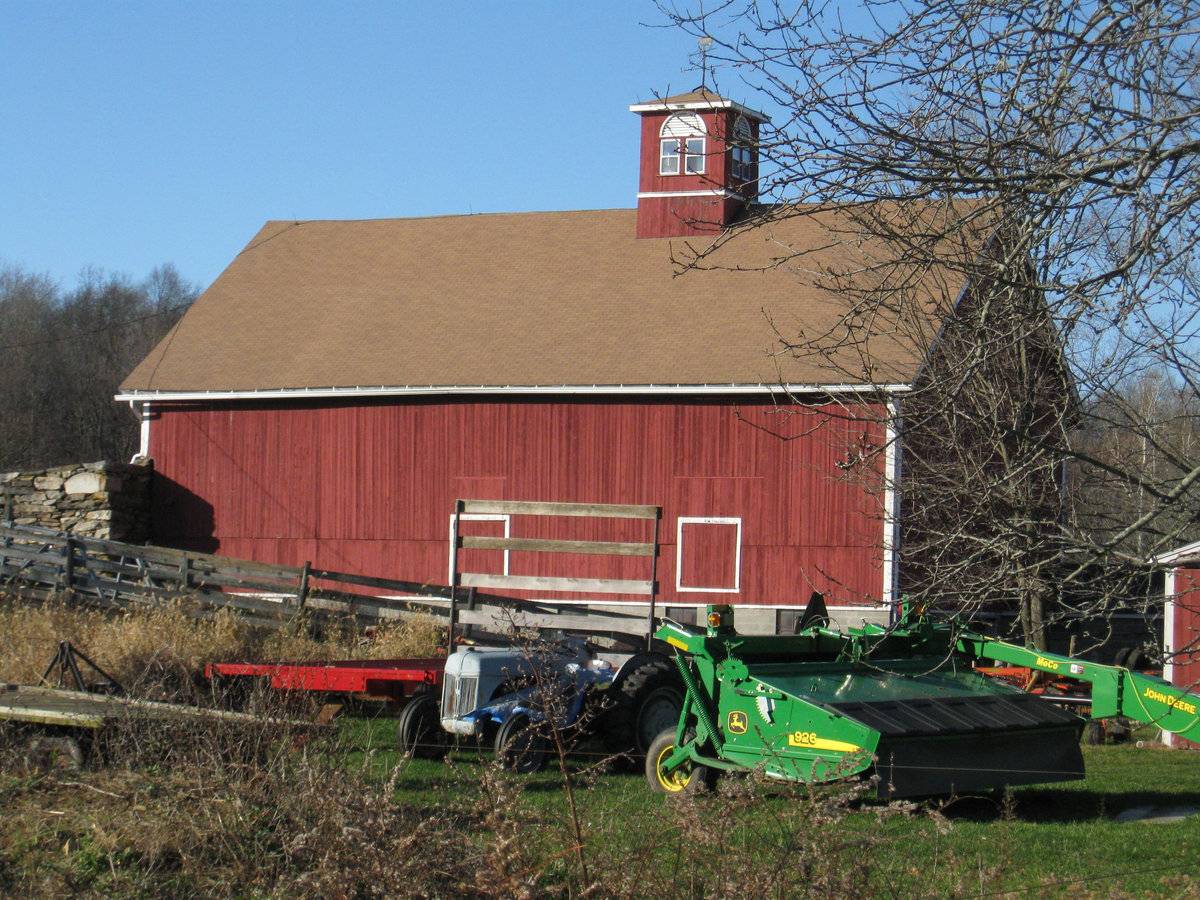
The second level is sheathed on all three sides (south, east, and north) with vertical flush board siding. Access to the interior is through several hay doors; there appear to be two on the south side and two on the north. The siding shows evidence of repairs and patching.
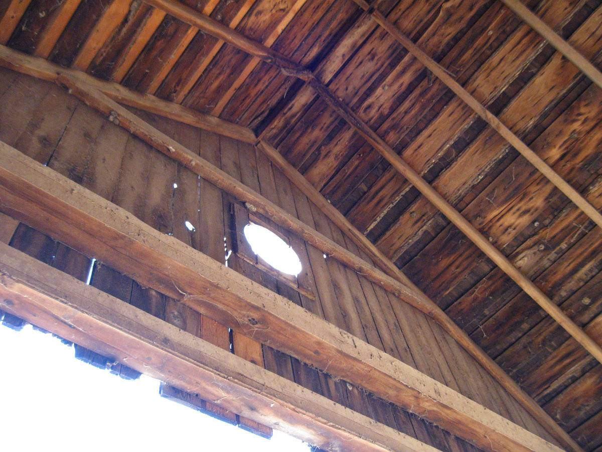
The third level has no openings on the south, east, and north sides, and a large double sliding door off the ramp on the west. In the attic gable is a round window on the west facade and an arch-topped window on the east.
The vertical siding is painted red.
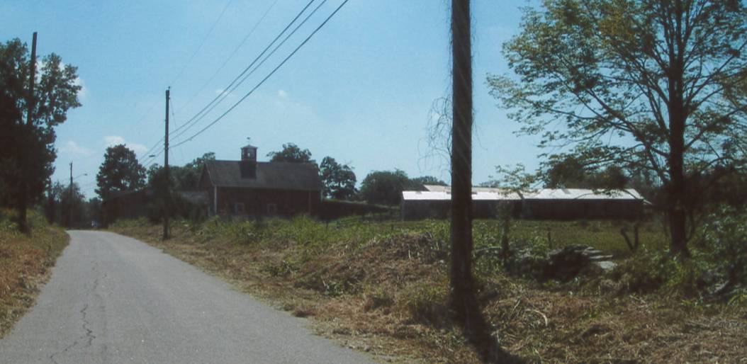
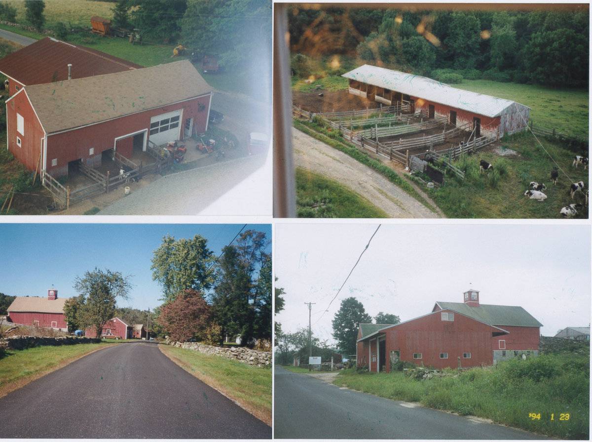
The gable roof is asphalt shingles. A modern cupola is at the center of the ridge.This is an extensive working dairy farm. In addition to this high drive bank barn, there is a pole barn for the dairy herd to the west, a heifer shed to the north, and several other outbuildings.
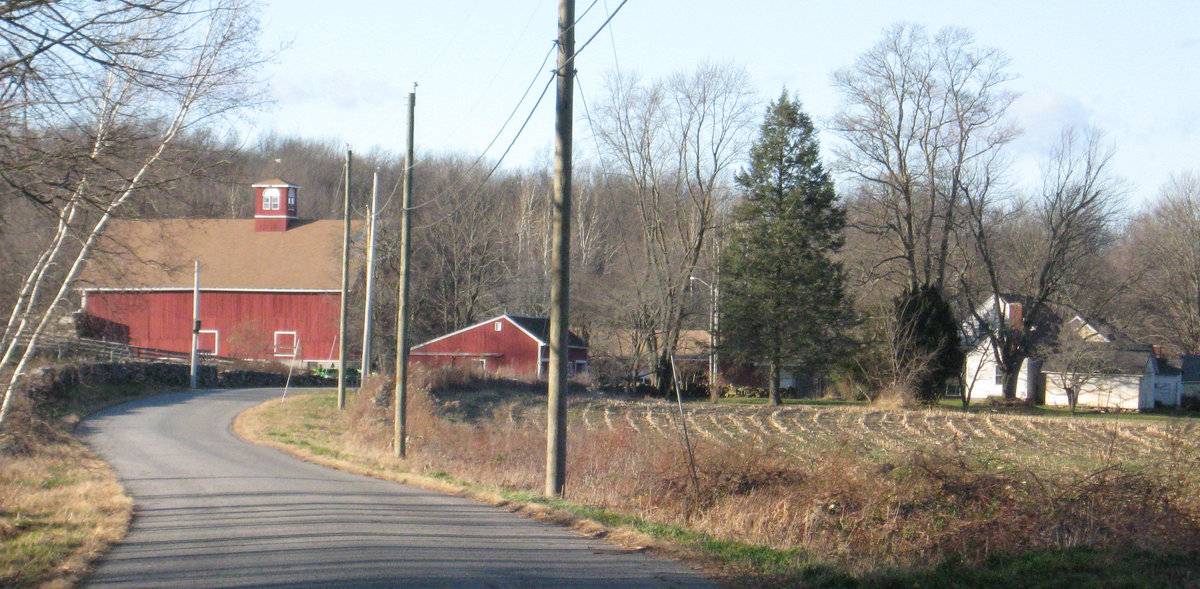
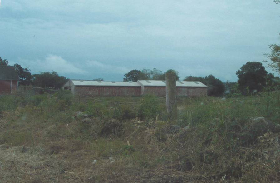
On the east side of the road are two farmhouses, several small barns or sheds, and the foundation of a barn. An ramp of fieldstone masonry is located to the northeast of the house at No. 95.
Historical significance:The New England barn or gable front barn was the successor to the English barn and relies on a gable entry rather than an entry under the eaves. The gable front offers many practical advantages. Roofs drain off the side, rather than flooding the dooryard. With the main drive floor running parallel to the ridge, the size of the barn could be increased to accommodate larger herds by adding additional bays to the rear gable end. Although it was seen by many as an improvement over the earlier side-entry English Barn, the New England barn did not replace its predecessor but rather coexisted with it.
The 19th century also saw the introduction of a basement under the barn to allow for the easy collection and storage of a winter’s worth of manure from the animals sheltered within the building. The bank barn is characterized by the location of its main floor above grade, either through building on a hillside or by raising the building on a foundation. This innovation, aided by the introduction of windows for light and ventilation, would eventually be joined by the introduction of space to shelter more animals under the main floor of the barn.
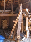
The main innovation of this three- or four-story “high-drive” design was to provide access near the top of the haymow so that loads could be dumped from wagons rather than hoisted into a loft above. The top main door on high-drives usually extended above the level of the eaves on the sides and often had ramps.
Before the 1880s, cheese and butter making were usually done on the farm. The milk room or dairy room was often located in an ell between the kitchen and the woodshed. Some farms had separate milk rooms and dairy rooms. In the milk room, the fresh milk was poured into shallow pans placed on shelves or racks. After the cream rose to the surface, it was skimmed off the milk and then churned to make butter. Cooperative creameries were being established throughout New England in the 1880s. Usually located next to the railroad line in villages, these creameries processed the milk of dozens of farmers, who shipped the liquid from the farm to the creamery by wagon in metal cans.
Single-story milk houses are typically attached to [20th-century] ground-level stable barns. Designed to comply with state and local ordinances intended to minimize the potential for milk contamination, many are now fitted with large, electrically cooled stainless steel bulk storage tanks.
Historical background:
Potential for National Register nomination – family history in Ashford back to 18th century. Unusual stone ramps to high drive barns. Cupola not original.The town of Ashford was incorporated in 1714 and for its first century had the typical scattered settlement on upland ridges which characterized nearly all of Connecticut. The economy was community-subsistence agriculture. Industry was limited to the mills of the agricultural economy – grist, saw, fulling mills.
In the early 19th century, turnpikes and improved roads, along with limited market-oriented agriculture, resulted in some local wealth and settlement nuclei at the major crossroads. Ashford Center, Westford, and Warrenville date from this period. So do the fancy Federal-style houses in these villages and along Route 89 (Mansfield Road) south of Warrenville. Also in this period there existed a short-lived glass factory at Westford.
In the 19th century, the lack of significant waterpower and railroad connections led to stagnation. Its peak population, 1820 (2,778) which had declined to 668 by 1910, was not exceeded until 1980.
In the early 20th century, the declining farms of Ashford were abandoned by their Yankee owners and sold to East European immigrants, notably Slovaks, Bohemians, and Hungarians (Magyars). This transformation of the rural countryside is one of the great stories of modern Connecticut. Today a large portion of the town is descended from these people (Clouette, Township Survey).Field Notes
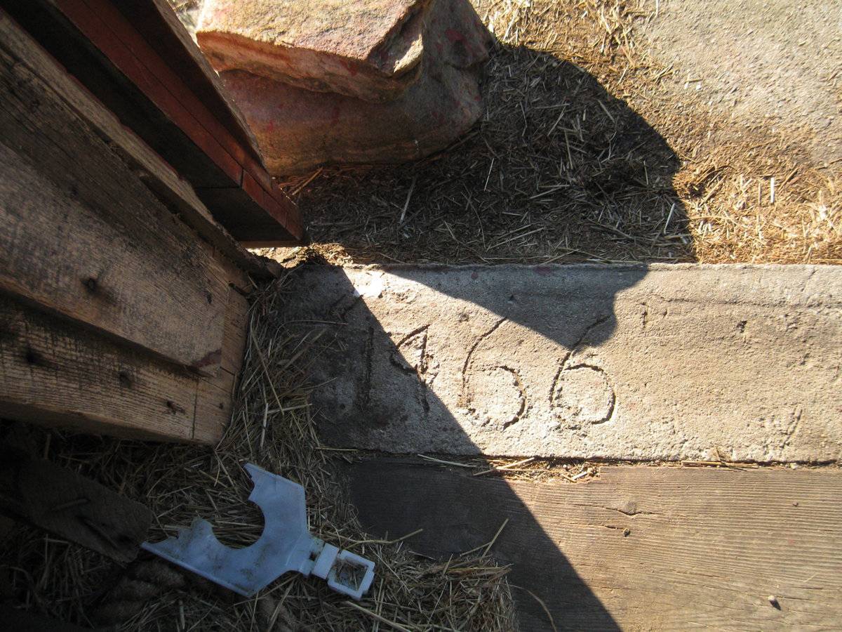
Listed on the State Register of Historic Places 10/02/2013. Original Thomas Knowlton notable during Revolutionary War. Sources: William (Bill) Karosi, Town of Ashford Assessor. 3 barns at this location; this is barn 1. 127 acres of surrounding land is the Knowlton Hill Preserve of Joshua's Tract Land Trust. CH interview with farmer Tom Knowlton 11/28/2009: West of the road, Barn c. 1875, new foundation of concrete block masonry in 1966 (barn jacked up), new cupola 1997 to replace the original which blew off in the hurricane of 1938. A big barn on the east side of the road blew down in 1938 when the wind gusted into the lower level and lifted it up. The fieldstone ramp still extant was connected overhead by a bridge so there was a passage through between the ramp and barn. Foundations are still visible. Story told by Tom Knowlton: masons who built the ramp were paid in cider brandy which the Knowltons distilled in a still up the hill (west) but the masons got paid a bit too soon and started drinking before they quite finished the ramp. The family is still raising and keeping dairy cattle on the farm - pole barn to the west and heifer shed to north, plus two equipment sheds near the road and a small yellow barn/shed east of the two cape-style houses on the east side of the road.
- Use & Accessibility
- Environment
Related features
Environment features
Relationship to surroundings
Knowlton Hill Road is a rural road in the southwest corner of Ashford. Much of the original farm is now open space belonging to Joshua’s Trust.
- Typology & Materials
-
Building Typology
Materials
Structural System
Roof materials
Roof type
Approximate Dimensions
2795 square feet
- Source
-
Date Compiled
02/17/2010
Compiled By
Charlotte Hitchcock, reviewed by CT Trust
Sources
Photographs by Charlotte Hitchcock 8/04/2009, Bill Karosi 1990s.
Aerial Mapping: Ashford Maps
www.bing.com/maps - accessed 02/17/2010.Town of Ashford Assessor’s Records:
No. 92 Map/Lot 43/W/4 (95 acres, barn 2795 sf, pole barn 8836, sheds 1000 & 1400 sf).
No. 95 Map/Lot 43/D/3 (house built 1880, 2 acres).
No. 99 Map/Lot 43/D/1.2 (house built 1800, 2 acres).Bayles, Richard M.; History of Windham County, Connecticut, New York: W.W. Preston, 1889. excerpts available at
< http://www.connecticutgenealogy.com/windham/ashford.htm >.
Clouette, Bruce, National Register of Historic Places, Church Farm, Nomination #270921, 1988. Item No. 88002650 NRIS (National Register Information System) http://pdfhost.focus.nps.gov/docs/NRHP/Text/88002650.pdf
< http://pdfhost.focus.nps.gov/docs/NRHP/Photos/88002650.pdf >Clouette, Bruce, Ashford Township Survey, handwritten manuscript, Connecticut Trust for Historic Preservation, 199x, Item X-4.
Sexton, James, PhD, Survey Narrative of the Connecticut Barn, Connecticut Trust for Historic Preservation, Hamden, CT, 2005, http://www.connecticutbarns.org/history.
Visser, Thomas D., Field Guide to New England Barns and Farm Buildings, University Press of New England, 1997.
- PhotosClick on image to view full file
-